A route to the Marin Headlands, through Muir Woods and up to the top of Mt. Tam and back was created. A true adventurer's ride. A grueling 50 mile trek with 8,000' of elevation gain, traversing plenty of steep fire road and sweet single track, while soaking in amazing views of the Headlands, Redwoods and the Pacific Ocean. We call it the Tam Epic.
Tam
Tam, short for Tamalpais, is just 20 miles north of San Francisco. It looms into view from any point in the North Bay. You can get to the top via road, but we prefer the route less travelled, which means a lot of dirt and vert.

The Route
The ride starts at the south end of the Golden Gate Bridge, up Hawk Hill, dropping down Coastal Trail, up Miwok and down to the horse stables via Old Springs. From there we pick up Miwok again up a brutally steep section of single track, water bars and loose rock before continuing upwards and over Coyote Ride.
I consider this to be part of the beginning of a long day ahead. If you're already gassed at this point there's no need to keep going, just turn around and go home. If you're so inclined to keep pressing, remember to pack enough food and water, as there are few places to refill and refuel.
I'm not much of a CamelBak guy, but on hot days I'll carry a small pack with a few bars and GU Chomps as well as water bottles. The weather can fluctuate depending on the fog, but it's relatively mild year round once you cross the other side of the bridge and into Marin.
Dias Ridge
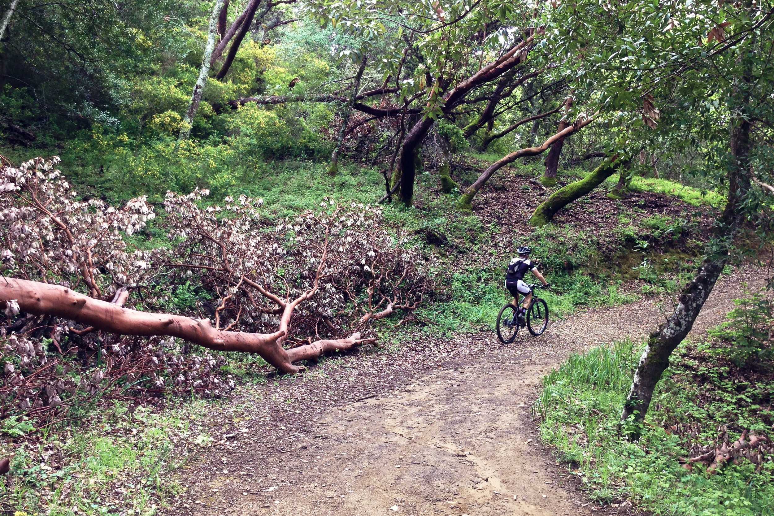
Miwok continues to climb up the backside of Coyote Ridge before heading north towards Highway 1, where the trail picks up again on the other side of the road and onto Dias Ridge, one of my favorite sections of single track in the North Bay. This segment is more of a Super-D, starting out with some rolling single track before a short rise, followed by a ripping downhill that features water bars, hairpin switchbacks, off camber turns and great views, that's if you're eyes aren't tearing up with joy.
Every Saturday there's an elderly woman that hikes up and down Dias Ridge, and has since who knows when. I've seen her many times and is always nice to let you by without issue, so please keep an eye out for her. In general the weekends can get backed up by an occasional hiking group or two, sometimes equestrian riders, so be respectful out there. There are very few sections of legal single track in Marin, and it only takes a few assholes to ruin it for everyone.
Deer Park & Muir Woods
Old Railroad Grade
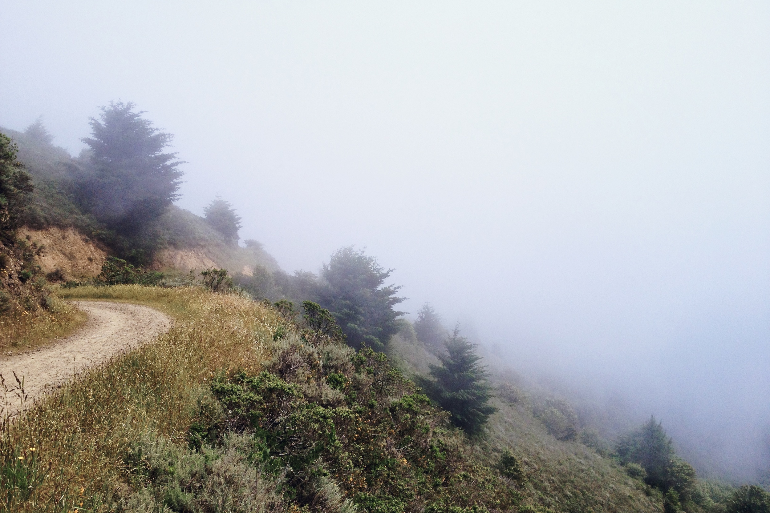
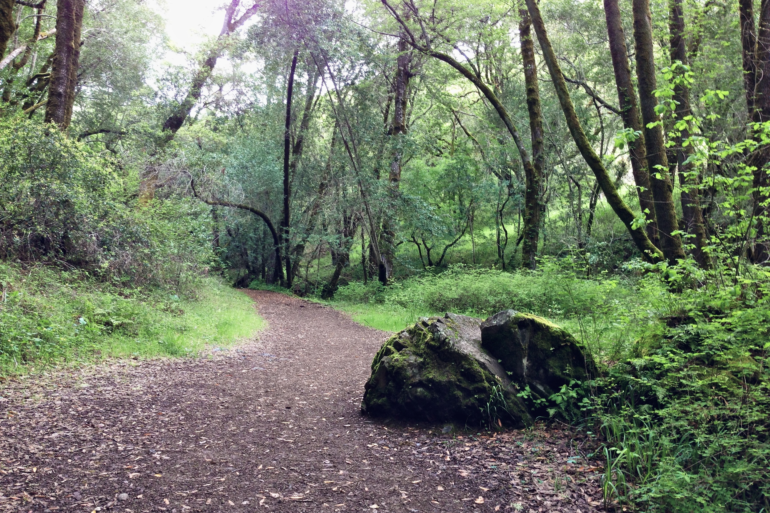
At the bottom of Dias Ridge the only way up to Tam is to connect a relatively short section of road into Muir Woods and onto Deer Park, paralleling the famous Dipsea hiking trail. It climbs in and out of the beautiful Redwoods via a fire road before giving way to an amazing view of the Pacific Ocean as you near the top. This slow grind from the bottom up to the top of the Pantoll and Panoramic Highway intersection is roughly half an hour, so sit down and spin your way up to the first rest stop, which features bathrooms and a chance to refill your water bottles.
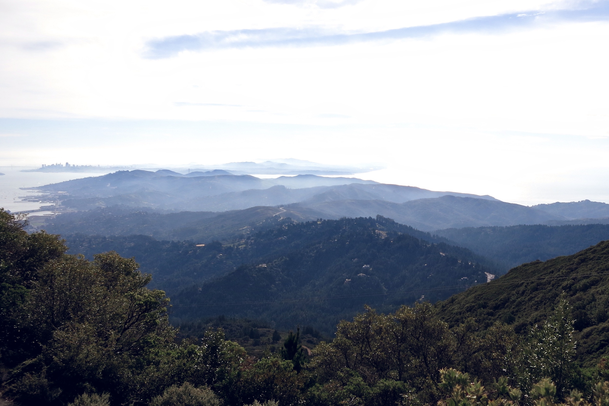
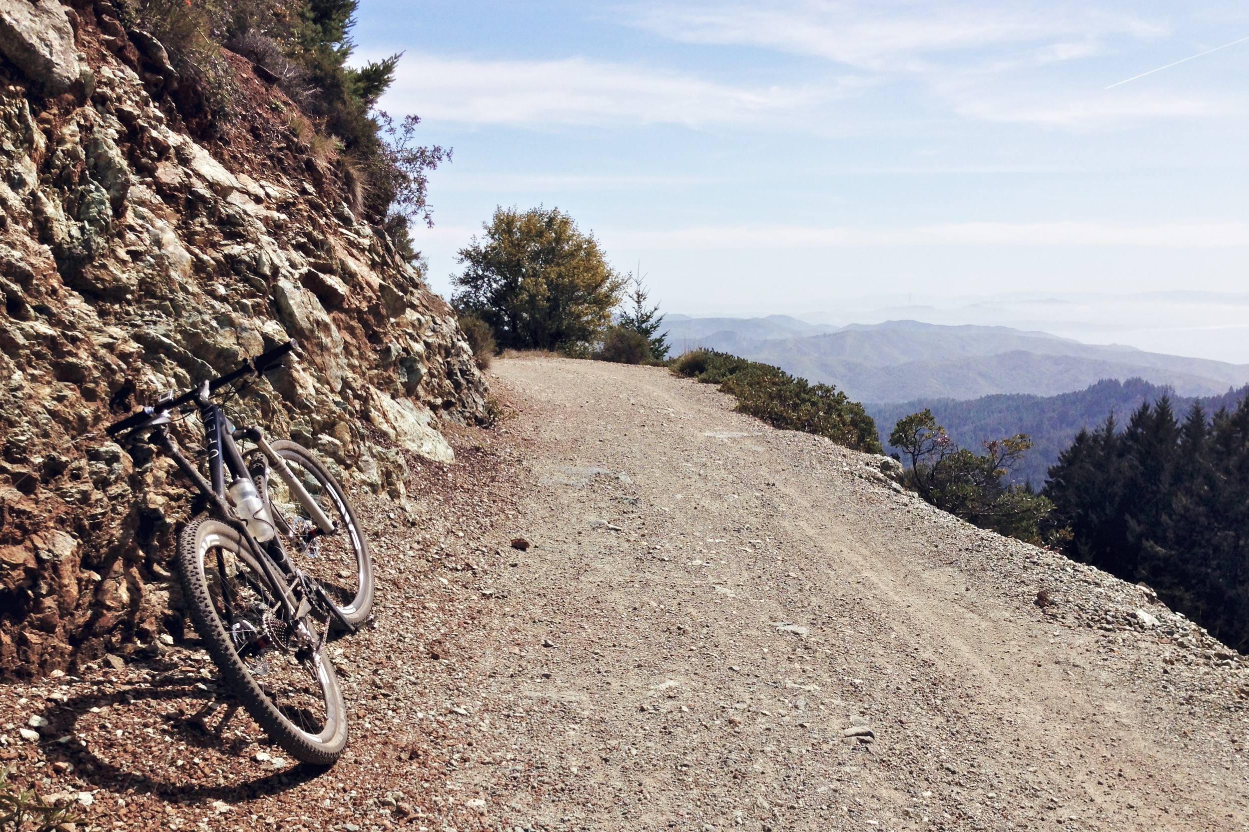
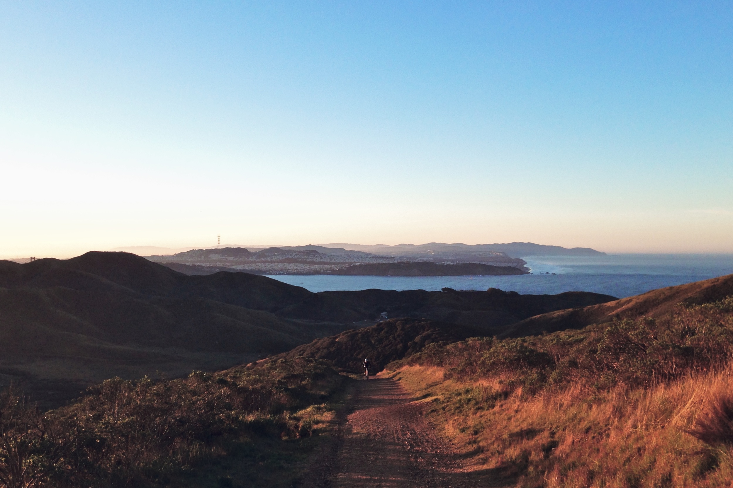
Gravel grinders and mountain bikers alike know this famed section of fire road which gently snakes up the south face of Mt. Tam all the way to the very top. There's another rest stop at the West Point Inn halfway up where you can refuel on granola bars and water with the honor system. The fire road features sweeping views of Muir Woods and the Headlands below. On clear days you can see further south to the city and the Peninsula beyond.
Tippy Top
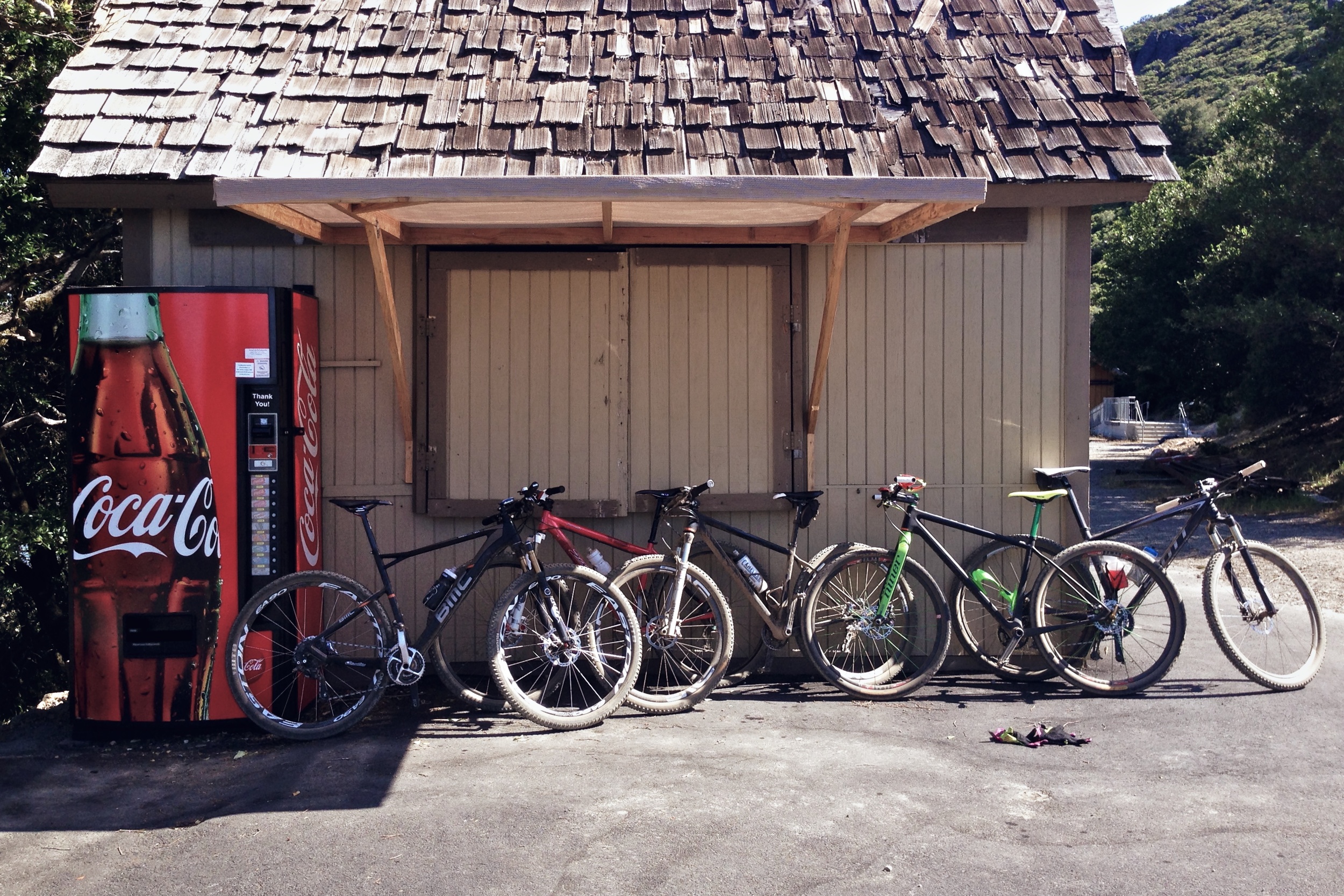
The top of Mt. Tam sits at about 2,200' above sea level and marks the halfway point. At this point most of us are hurting real bad from all the climbing, but we all know there's respite in the form of a Coca-Cola can waiting for us. I always pack a dollar in my jersey in anticipation of the soda machine near the view point. They recently overhauled the visitor center and removed the soda machine and replaced it with a cooler. It's been a while since I've been up there, so I'm not sure if they're ever going to replace it.
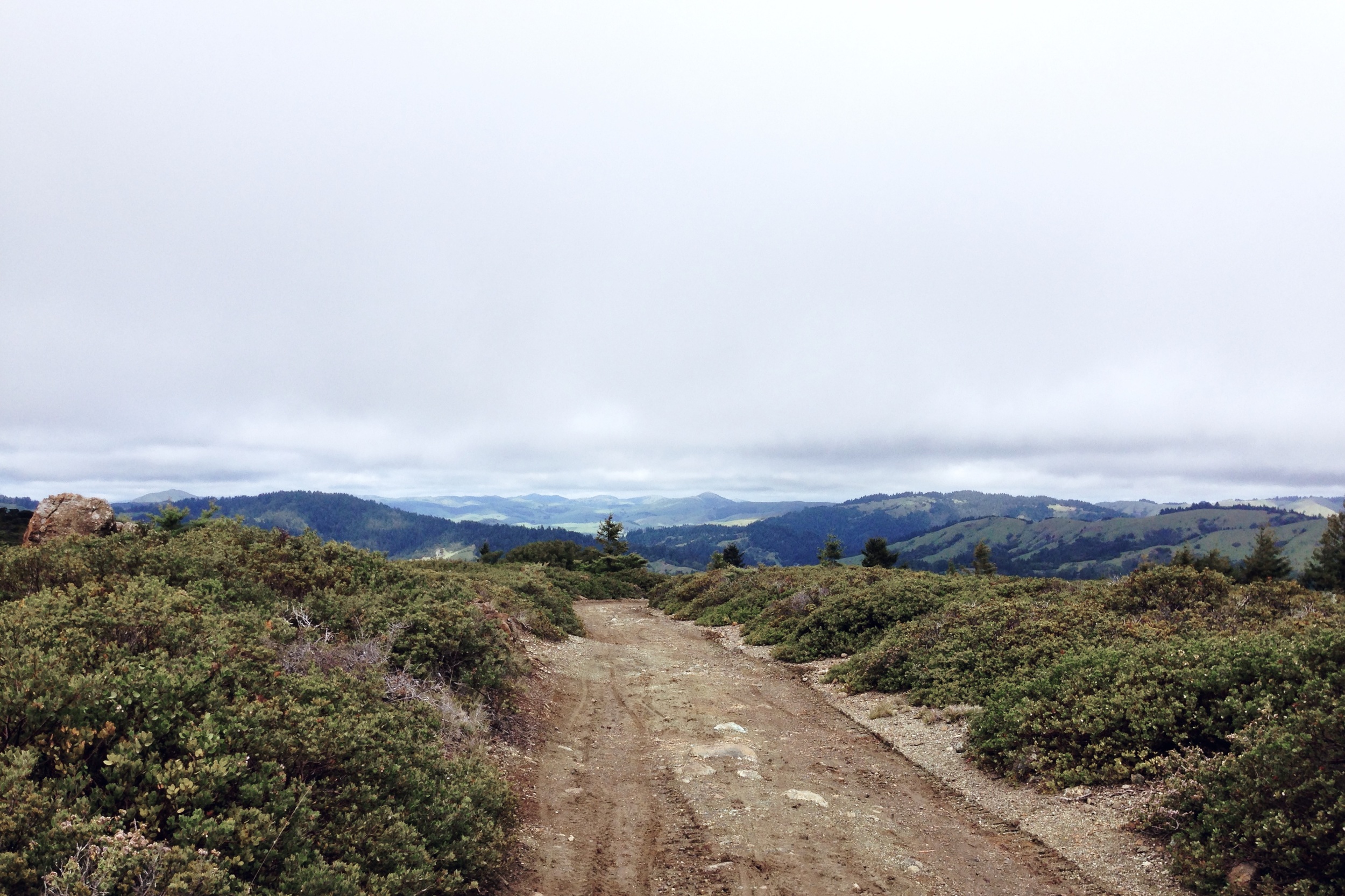
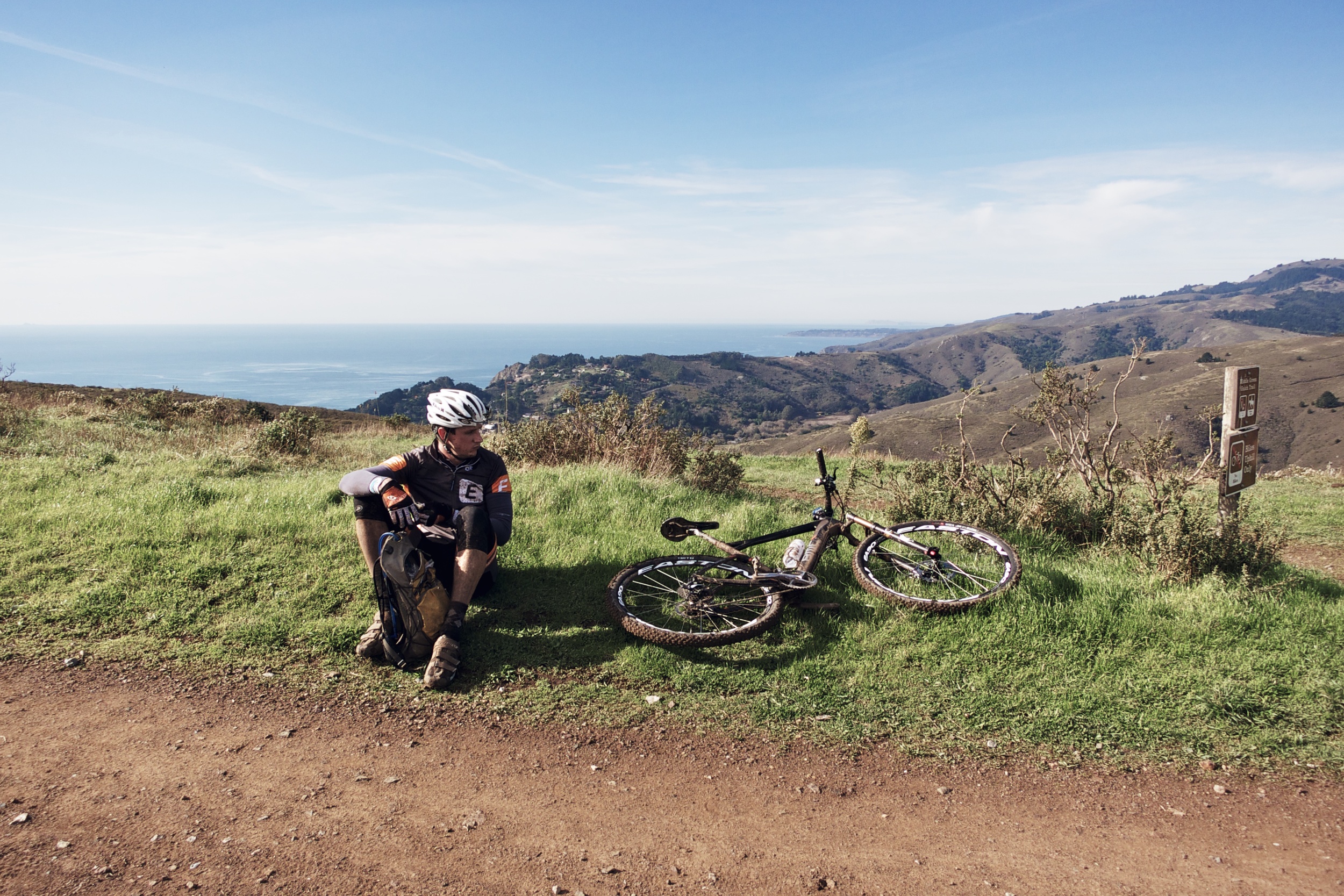
Sitting at the top of the world and being able to see where you started as well as where you've been is incredible. One could keep going north to explore the vast network of fire road and single track that connects Fairfax, San Rafael, Woodacre and beyond, but for us non NorCal natives the top of Tam serves as a manageable turnaround point.
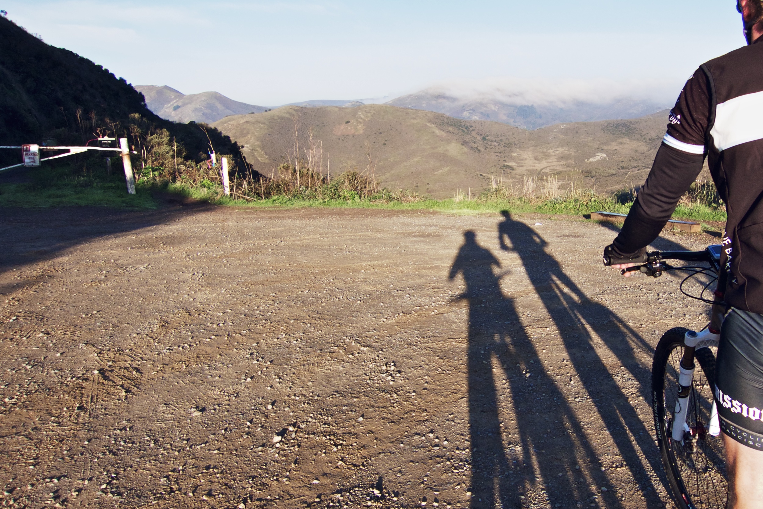
Get ready to plunge down the way you just came, and catch some air along the way. Just mind the few blind corners and loose gravel as you make your way down past Pantoll and onto the Coastal View Trail, a beautiful and fun stretch of legal single track all the way down to Highway 1. It's twisty, bumpy and not overly technical. You can gain serious speed in some areas, but watch out for deep rutted sections halfway down. This trail sees a lot of hikers, too, so be careful not to piss them off.
Green Gulch
The route briefly connects with Highway 1 down to the Pelican Inn where you'll want to make an immediate right and then left onto a gated fire road entrance. A quarter of a mile down the way is another large gate to your left, which is open to the public including bikes. This goes into the Green Gulch Zen Center where it connects with the Middle Green Gulch trail, a true climber's test of will and determination. It starts with a few tight and steep switchbacks before it tapers out. The trail continues to climb up the north side of Coyote Ridge with one real bitch of a pitch near the top.
The twinges of cramps are typical at this point. You just climbed a few mountains. No big deal, right? You're either on or off the 'Struggle Bus', but the end is in sight, literally. Just a few more climbs through the Headlands and you're home.
The top of Middle Green Gulch, which is uphill only, connects with the Coyote Ridge Trail. Hang a right downhill before connecting back onto Coastal towards the horse stables before climbing up into the Headlands. The trip up Marincello is usually where I bonk, making it my most hated trail of all time. It's such a grind and with next to zero power left in your legs you're forced to spin at an insufferable speed, but at least the view is somewhat decent. It's just one more fire road bomb session down Bobcat and up Coastal Trail before you're greeted with the glorious sight of the Golden Gate Bridge, the end of the Tam Epic.
For a lot of us it's another few miles to home. That's the great thing about biking in Marin, you usually don't have to drive to start your ride.
Headland Heifer
My friend Peter organized The Headland Heifer, an unofficial underground mountain bike race through Marin County. It takes you on the exact same route as the Tam Epic, but officially begins at the start of Hawk Hill. I battled it out with 20 strong locals, and I knew the route like the back of my hand, which gave me a significant advantage.
Not only did I get the win, but I collected enough points to claim the king of the mountains title. There were three climbing segments and three downhill/Super-D sections. All finishers got a bolo tie, and the point winners got custom trucker hats. It was a great day of riding with my buds and crushing it at the same time. Thanks to Peter for organizing everything.
Leadville Training
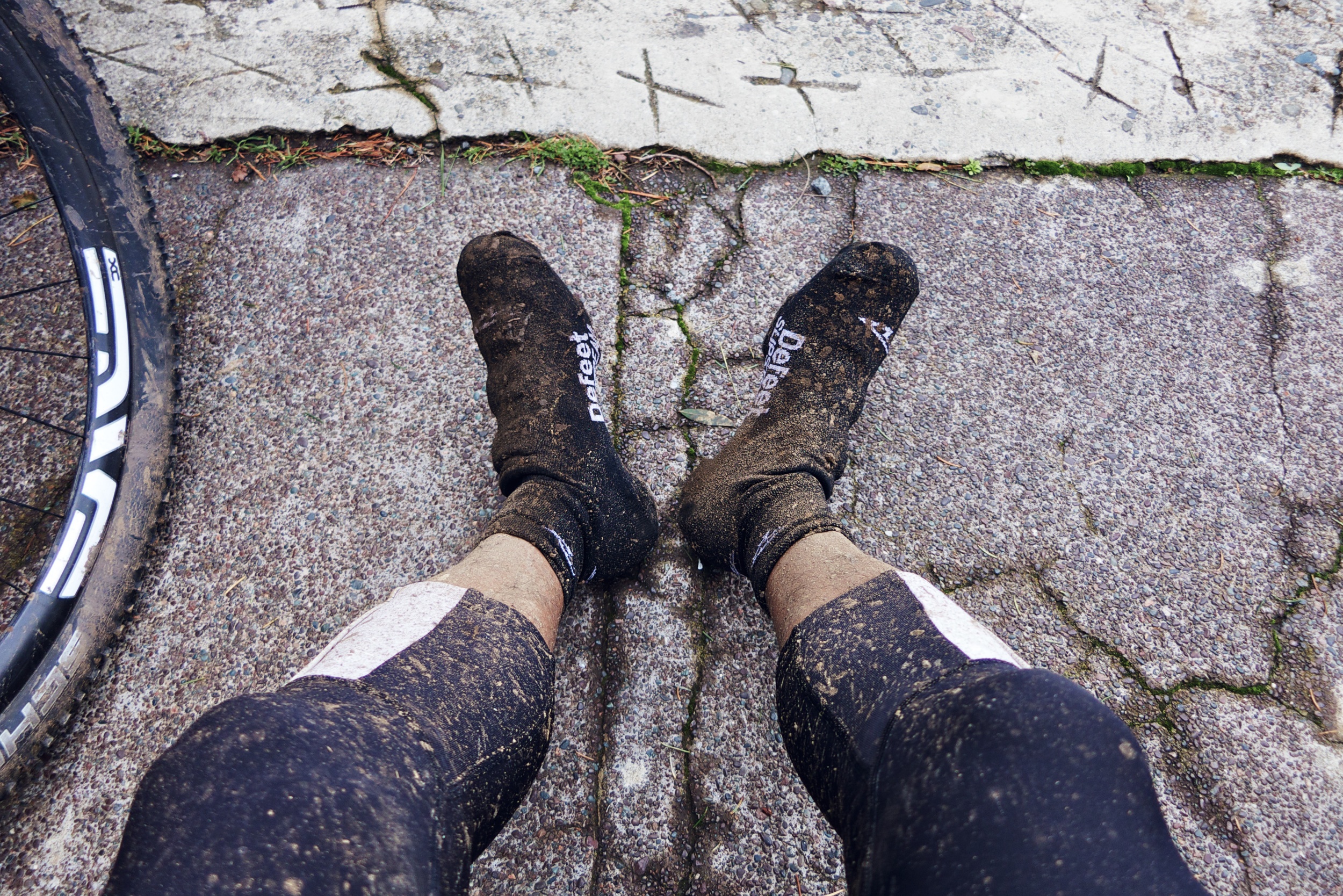
The Tam Epic is a great training route if you're planning on doing Leadville. It doesn't cover as much in the way of mileage or elevation gain, but it mirrors the type of terrain you'll encounter, the exception being you're at sea level rather than 10,200'. It also gives you an opportunity to dial in your bike setup and nutrition needs for longer rides and races. I've never done this ride without bonking, which can be a good thing to experience and train for. The long sustained climbs will make you cry at some point, just like Leadville.
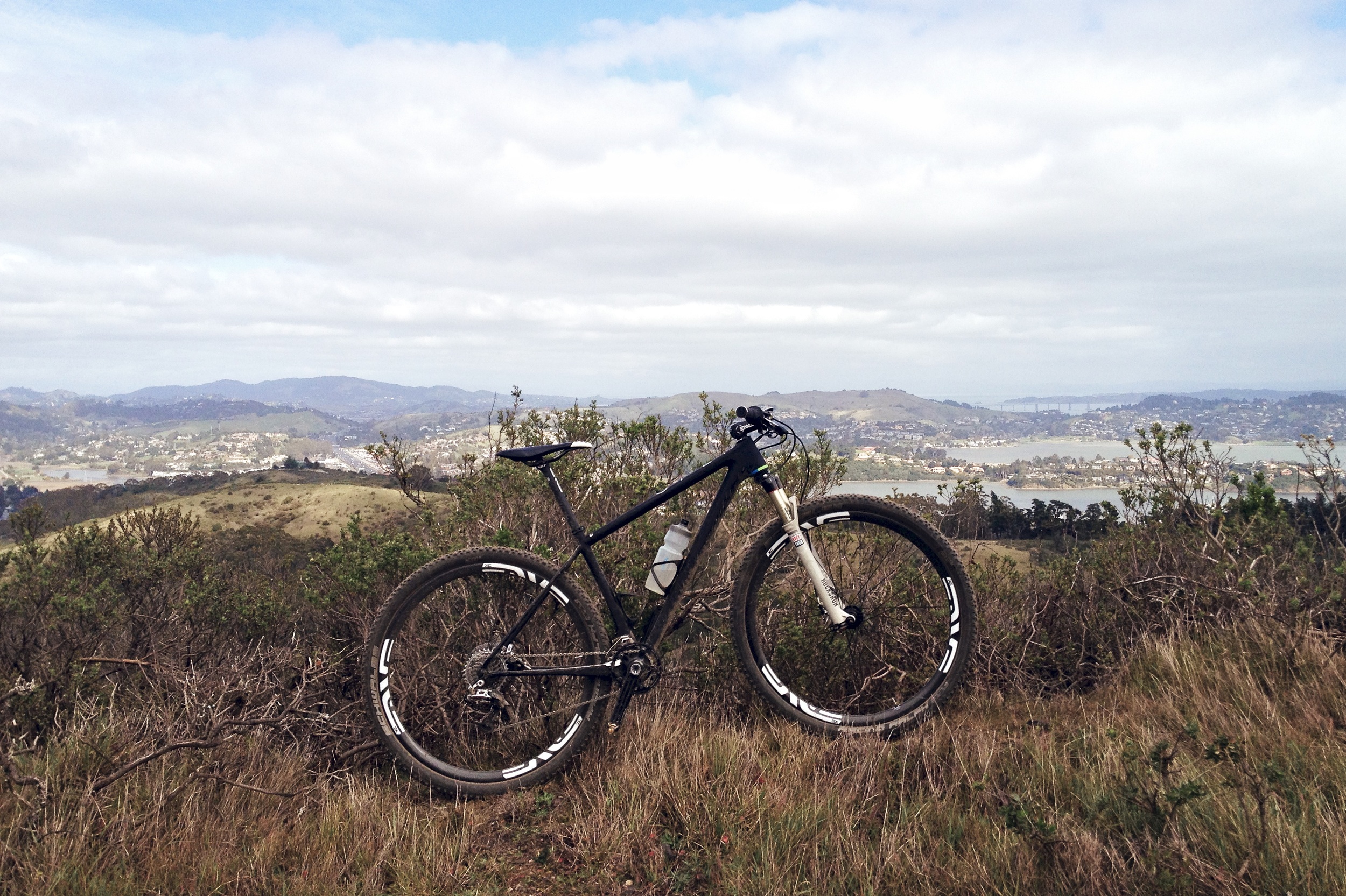
I've ridden the Tam Epic on a variety of steeds, from hard tails to full-suspension XC and trail bikes. My whip of choice would have to be the Specialized Epic, which allows me to dial in the suspension on the fly to be either efficient or more comfortable. It's the perfect bike for this type of riding where the trails aren't too demanding. New technology like SWAT (storage, water, air, tools) integrates everything you need onto your bike rather than the rider, which makes it more comfortable to suffer for longer.
Ride Data
STRAVA
http://www.strava.com/activities/34648115
Distance: 55.5mi
Moving time: 4:32:31
Elevation: 7,994ft
Avg. Power: 187w
Avg. Speed: 12.2mi/h
Energy Output: 3,055kJ
Suffer Score: 310
