Just 20 minutes north of Portland lies a patch of forest, embedded with a spider web of sweet single track. For the most part the rain has no effect on the dirt, making it a prime spot to ride when the weather sours. It's very challenging and at times downright scary, especially on the southern side of the park. So get lost and enjoy PDX's best kept secret.
Twista
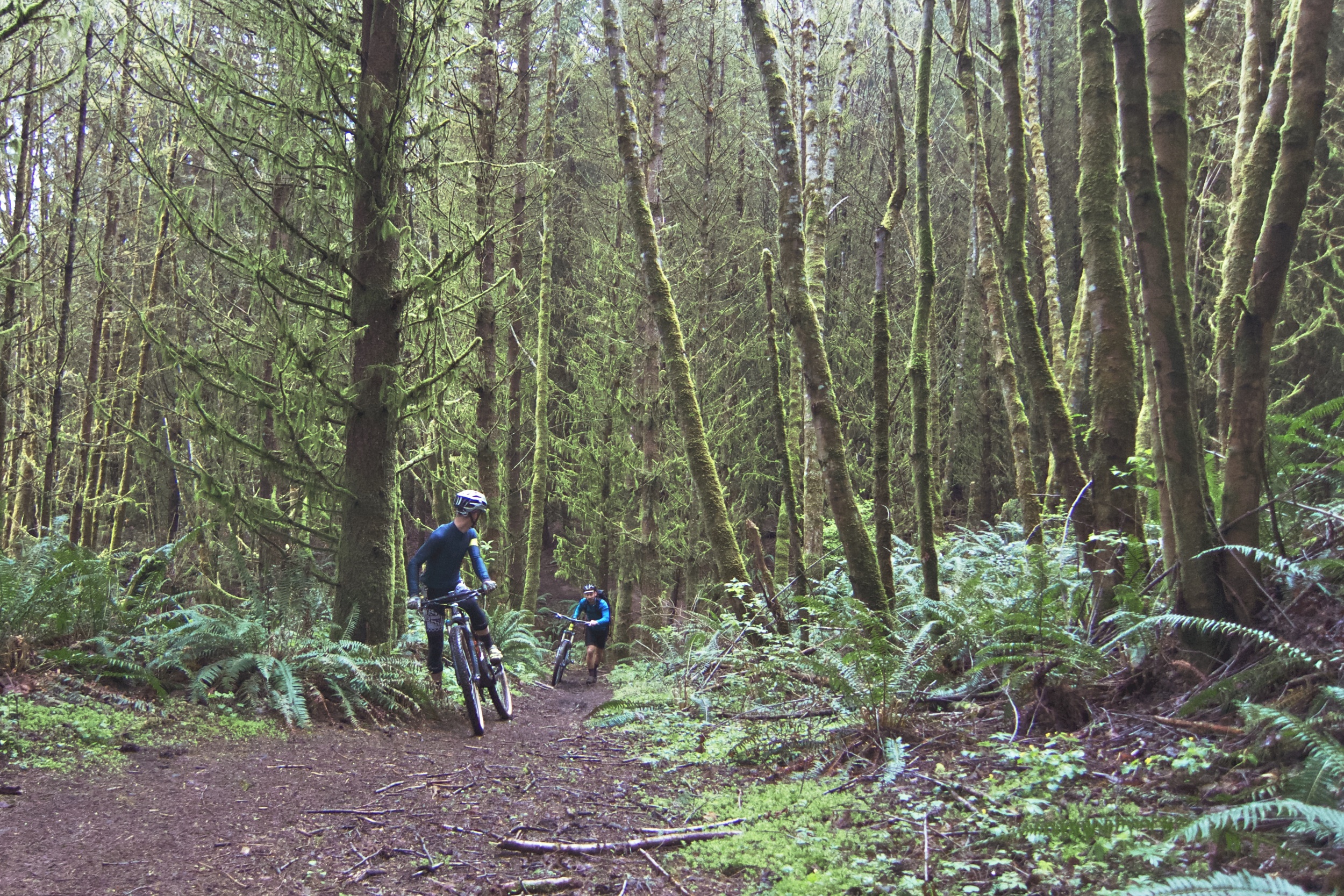
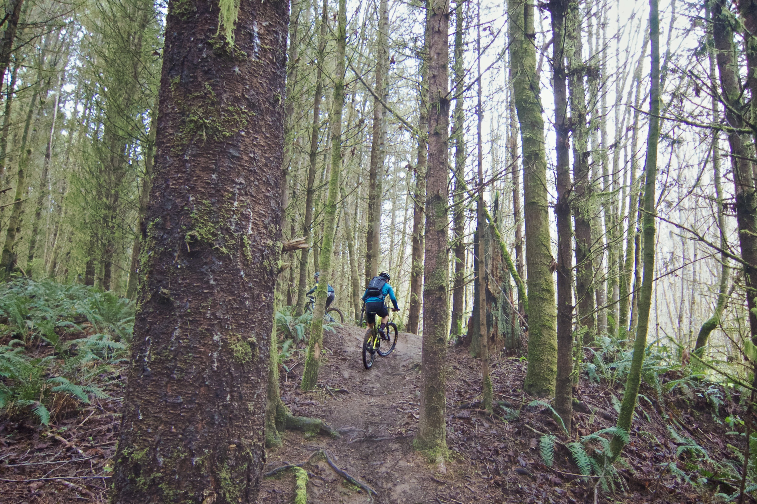
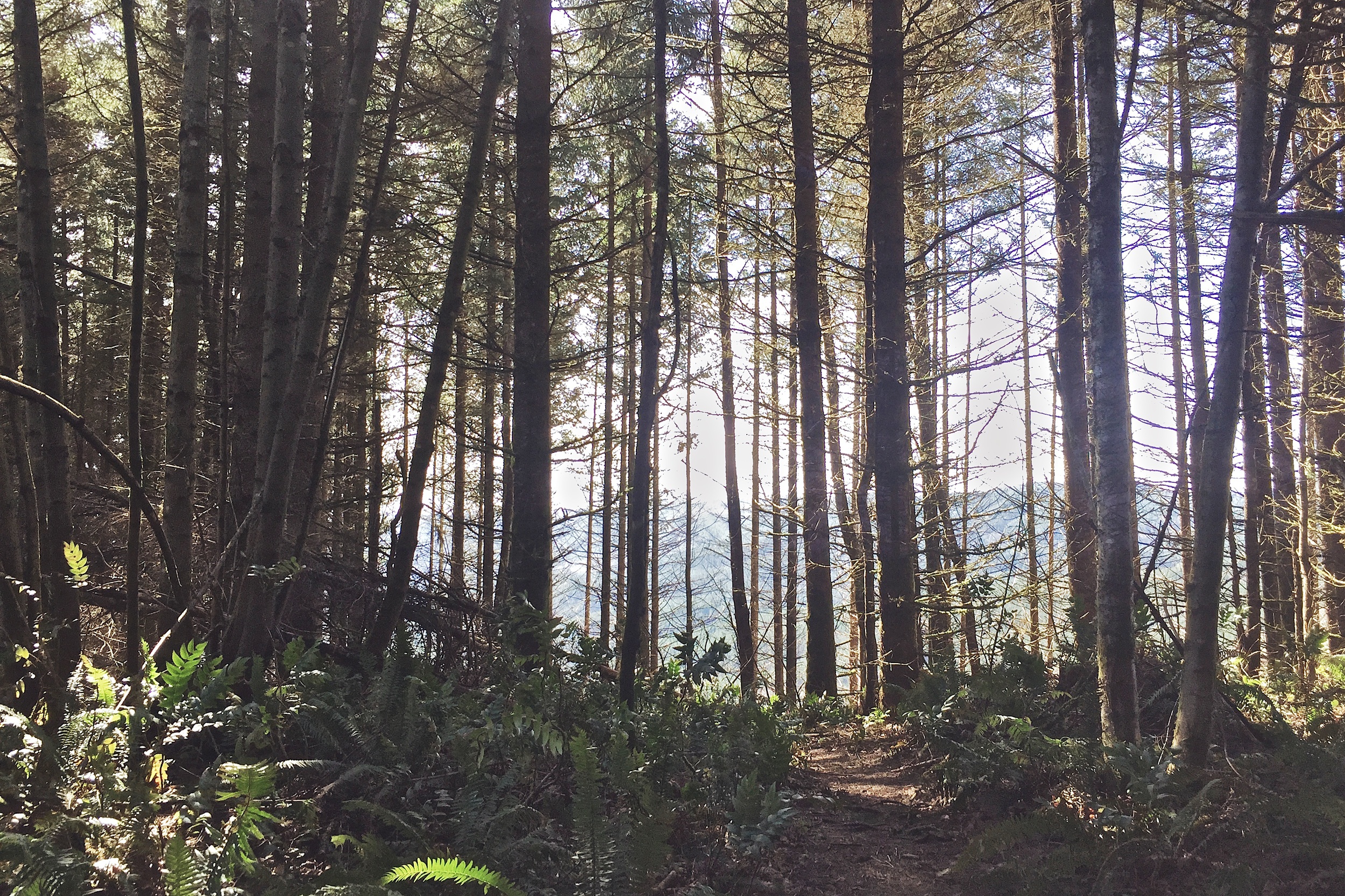
Trails are unmarked so it's rather confusing the first couple of times, especially on the north side of Rocky Point Road. The single track twists, turns and split every half mile, reconnecting eventually. It's littered with roots and mini log crossings, but the dirt is relatively loamy with a few spots of the slick stuff.
Getting There & Around
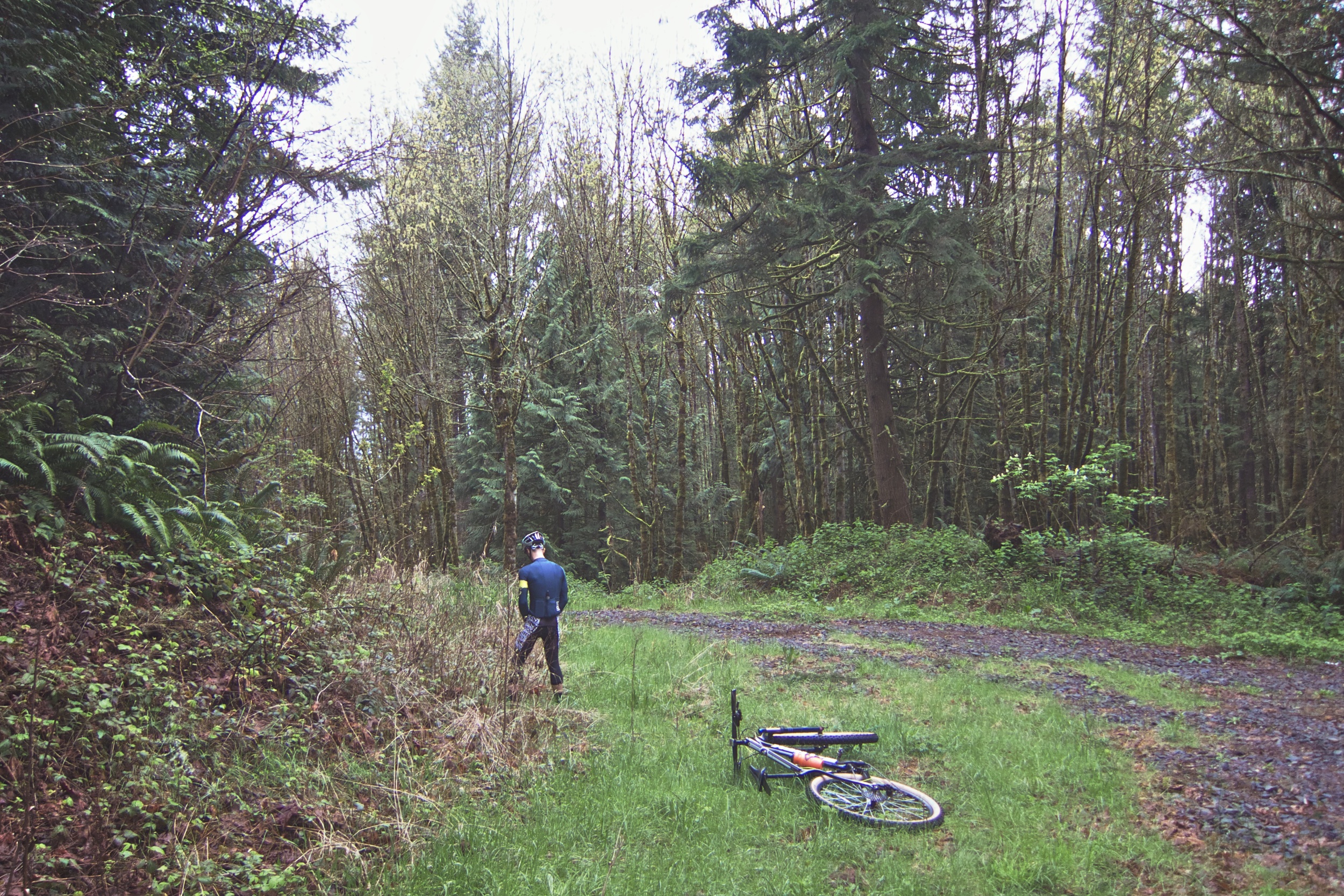
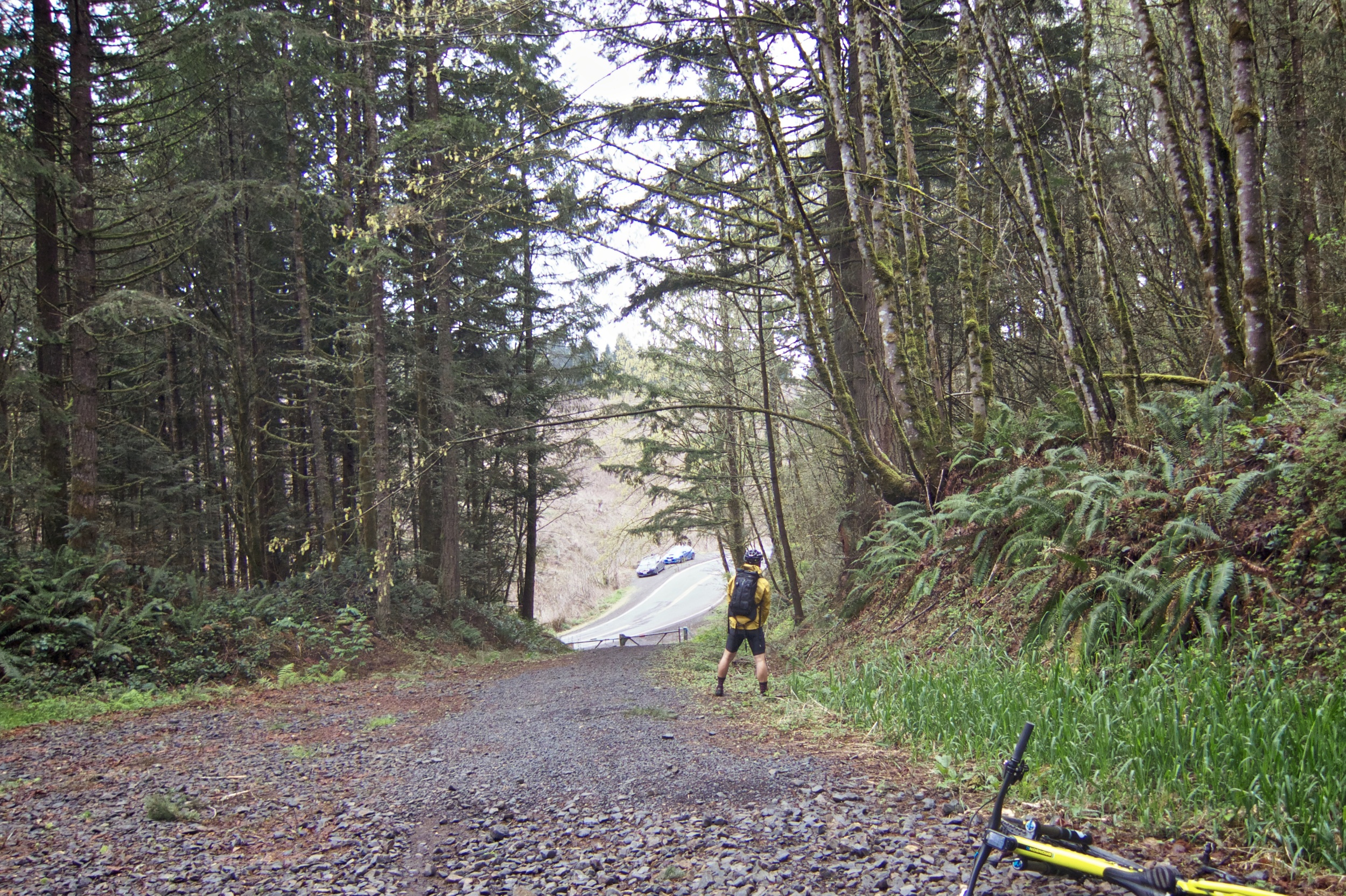
Take Highway 30 north for about 16 miles till you reach Rocky Point Road. You have the choice of parking below or halfway up the hill. The more gravity oriented riders seem to park at the bottom, climb up the fire road and session the gnarlier lower sections. I park halfway up, just past the first blue colored gate off to the right.
Through the gate and heading north you'll find a single track immediately to your left. Keep going and head up the first single track straight and right into the woods. From here I can't really say which way to go, as the maze of trails starts to sprawl, but in a natural forward direction. I'd say just stay to the right whenever the trail splits.
The North Side
As described above, the north side of the park is a network of tight single track. It's challenging, featuring lots of short punchy climbs, tight corners and lots of exposed roots, but it all seems to flow well. I'd say it's more suited to a bike with either tight and steep geometry with quick handling, but trail bikes are more than capable here. Due to the relatively low technical level and semi-soft ground you don't really need full suspension. I've been on both my Stumpjumper and Epic, and think I had more fun on my Epic.
The single track crosses the main fire road a few times, which is nice to use as a marker. The northernmost part of the forest is my favorite. The trail remains tight, but smooths out and rolls fast. There are a few technical sections that descend into a couple off-camber hairpin switchbacks, but it's all rideable and really tacky. When you turn around and come back onto the same sections it feels like new. The 'swamp' is where everything goes fuzzy for me, as the web begins to increase.
The steepness continues to get steeper.
The South Side
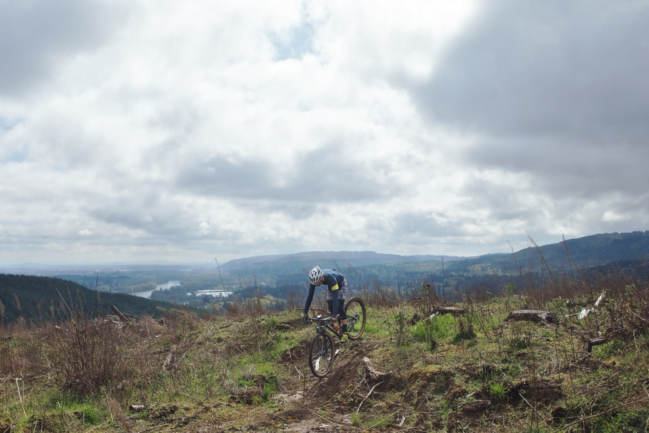
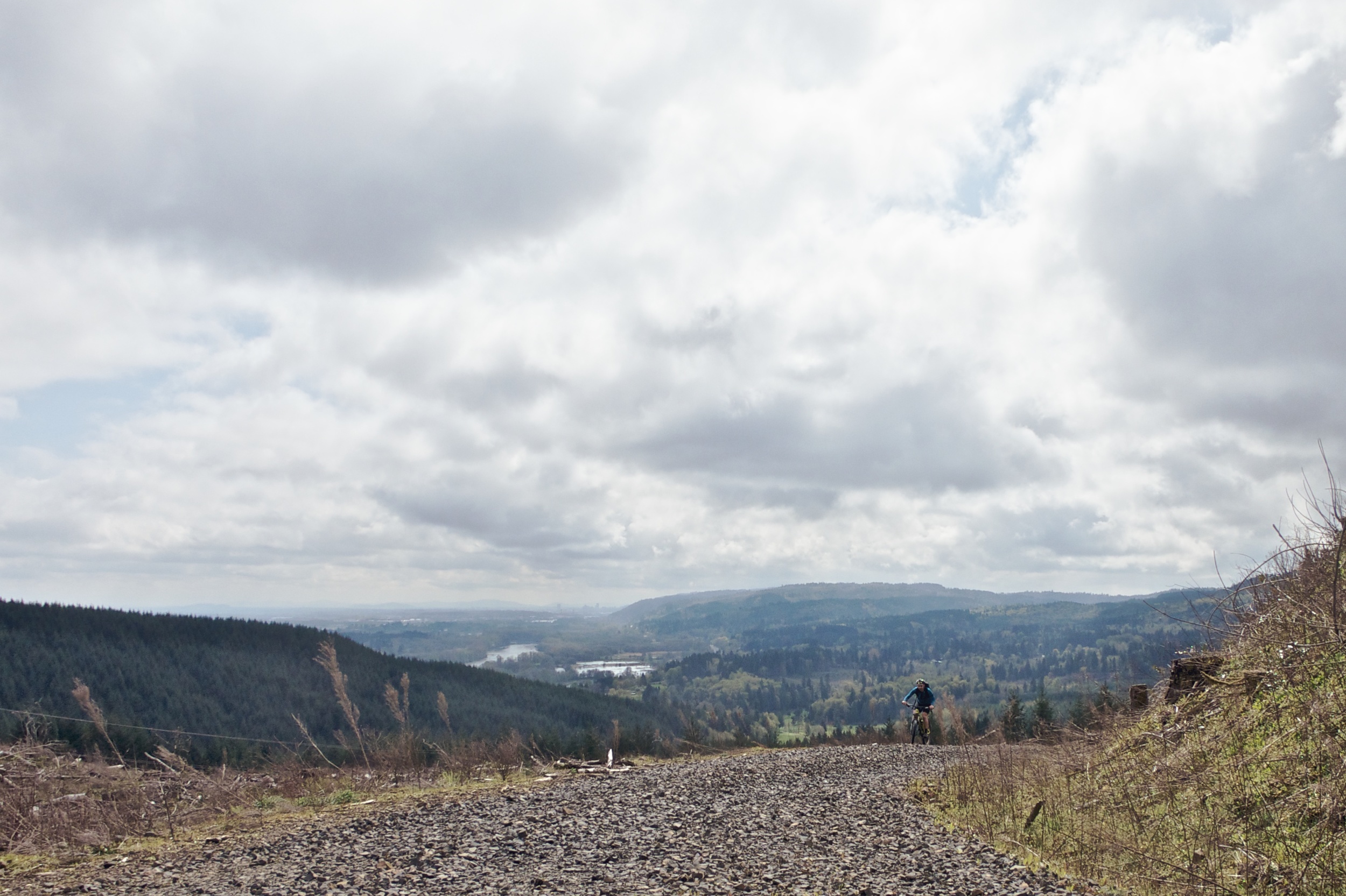
On the other side of Rocky Point Road is a slightly different story. The gloves come off and a true test of courage comes into play. It begins with a gentle gravel climb up into the deforested tree line. The single track picks up and the first loop starts at what the locals call Pine Needles, a fast and flowy descent reminiscent of Santa Cruz loam. There are a few kickers and big berms before connecting with fire road. Looping back brings you to another fast segment which cuts through the woods.
Head past the Pine Needles trail split and prepare for battle. The trail starts off with a lot of fast pump sections and transitions to steeper and steeper twisty turns. The halfway point ends with a super steep drop onto fire road before it picks up again and onto more gnar. Now I'm a decent enough bike handler, but there's a point beyond comfort that stops me to assess the fun factor against risk of major injury. Towards the bottom the steepness continues to get steeper, forcing me to walk a couple of segments.
Still Alive
The trails sit on private land, and have been here for more than a decade. How I never knew about them while growing up in the area baffles me, but I guess they weren't around in the late 90's. It's heavily deforested and is surrounded by private land yet manages to feel like the best kept secret.
The trails of Scappoose have quickly become my favorite trail network. It's really close to town, especially relative to where I live. It's challenging and perfect for XC training. The rain isn't much of a factor here, and everything is just plain fun. I only hope the trails remain open for years to come.
Ride Data
STRAVA
http://strava.com/activities/276092426
Distance: 13.3mi
Moving time: 1:51:15
Elevation: 3,435ft
